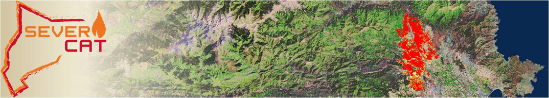
What is SEVERICAT?
SEVERICAT is a burn severity map server offering data from Catalonia from 1986 and beyond. Burn severity refers specifically to fire effects on above-ground biomass.
Which is the methodology of SEVERICAT?
Burn severity maps of Catalonia are obtained from satellite imagery using standard methodologies based on the calculation of the vegetation index NBR ( Normalized Burn Ratio ) before and after the fire, and the quantification of its changes.
Who is doing SEVERICAT?
Severicat is a project promoted by the CEMFOR (Mediterranean Center for Forest Research) from the CTFC (Forest Science Center of Catalonia) as a result of a joint collaboration with other groups from the same CTFC. Two master students (Daniel Ruiz and Tonino Mulas) have also collaborated on the data gathering and analysis.
How can be SEVERICAT useful?
The mapping of the burn severity effects can provide useful information on the understanding of fire regimes and their interaction with vegetation, thus becoming an important tool in the study of fire ecology. Moreover, the resulting products can become a fundamental tool to improve land management and planning.
Mapping the burn severity of historical fires in Catalonia provides relevant information on their evolution, the effectiveness of fuel management actions, the most vulnerable areas to fire, etc., which can be very useful in terms of fire prevention and forest management. In addition, the generation of burn severity maps of new fires also provides very valuable objective data to guide short term actuations after a fire, as for example the identification of areas with high erosion risk. This approach can help to guide post-restoration actions with a specific and objective valorization of the real fire affection.